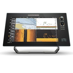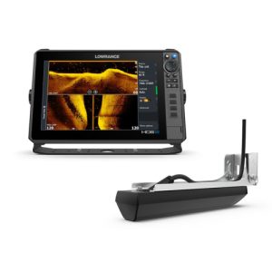
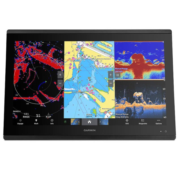
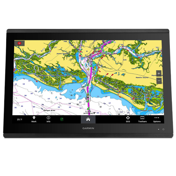
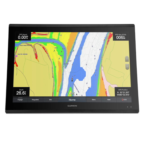
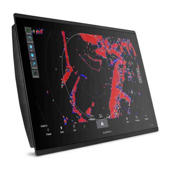
You probably already know how to use a Garmin chartplotter. It is that intuitive. Just turn it on and you can quickly follow the simple menu. Everything is at your fingertips to quickly and easily plan your route and set your course. And most Garmin ECHOMAP™ and GPSMAP® chartplotters are available with built-in sonar capabilities. These include advanced CHIRP traditional sonar and Garmin ClearVü™ and SideVü scanning sonar, which provides the clearest scanning sonar images on the water.
$5,200.00 Original price was: $5,200.00.$5,000.00Current price is: $5,000.00.
The Garmin GPSMAP 8424 MFD is a large-format marine multifunction display designed for boat owners who want navigation, chartplotting, sonar integration, networking and helm control in one system. This GPSMAP 8424 configuration includes a worldwide basemap and a 24-inch Full HD IPS touchscreen. It supports Garmin marine networking, NMEA 2000 and NMEA 0183 devices, compatible sonar modules, radar, cameras, AIS, autopilot and other connected equipment.
The GPSMAP 8424 uses a 24-inch Full HD IPS display with a 1920 x 1200 pixel resolution. The active display area measures approximately 20.4 by 12.8 inches, providing a large workspace for charts, sonar, radar and networked marine information.
The IPS panel is designed for wide viewing angles and clear visibility at the helm. The display supports touchscreen operation and can be installed either flush or flat depending on the layout of the boat’s console. Multiple Garmin displays can also be installed together for a larger integrated glass-helm configuration.
The GPSMAP 8424 is built as a marine chartplotter and multifunction display. Its navigation system can work with Garmin’s marine charting ecosystem and compatible optional charts, including Garmin Navionics, Garmin Navionics Vision, BlueChart G3, BlueChart G3 Vision, LakeVü, LakeVü Ultra, TOPO and supported raster charts.
Built-in tide tables and navigation tools support route planning and waypoint management. The system can store up to 5,000 waypoints, 100 navigation routes and 50 saved tracks, with up to 50,000 track points available.
This listing is identified as the Garmin GPSMAP 8424 MFD with Worldwide Basemap. The basemap provides a starting point for navigation, while compatible Garmin chart products can add more detailed coastal, inland, relief, satellite and navigation information.
Chart requirements vary by operating area and intended use. Before purchasing additional mapping, confirm that the chart product provides the geographic coverage and features required for your boating region.
The GPSMAP 8424 provides an expandable sonar platform. The specification lists support for 1 kW dual-channel CHIRP traditional sonar, as well as ClearVü and SideVü scanning sonar. Compatible external sonar equipment and transducers are required for these sonar functions.
ClearVü and SideVü can provide detailed views below and around the boat when paired with the appropriate GCV black box and compatible transducer. Garmin live sonar systems can also be paired with compatible GPSMAP equipment for real-time underwater viewing.
Because sonar capability depends on the connected black box and transducer, buyers should verify the exact sonar hardware required for their intended installation rather than assuming that every sonar feature is available directly from the display.
The GPSMAP 8424 is designed for larger integrated marine electronics systems. It provides four Garmin Marine Network ports, allowing compatible Garmin displays and networked devices to exchange information such as maps, user data, radar information and IP camera feeds.
This network architecture can be useful on boats with multiple helm stations or a combination of chartplotters, radar, sonar and cameras. Network design should be planned around the equipment already installed on the vessel and the available cable routes.
The GPSMAP 8424 supports both NMEA 2000 and NMEA 0183 marine networking standards. NMEA connectivity can allow compatible autopilots, AIS equipment, VHF radios, weather systems, digital switching equipment and other marine instruments to exchange information with the multifunction display.
The unit includes one NMEA 2000 port and four NMEA 0183 input ports. It also provides dedicated interfaces for other connected marine equipment, giving installers multiple options when integrating the display into a larger electronics system.
Integrated wireless connectivity allows the GPSMAP 8424 to communicate with compatible Garmin devices and mobile applications. ActiveCaptain compatibility can provide access to supported chart information, software updates, smart notifications and other connected features.
Bluetooth and ANT connectivity can also be used with compatible Garmin accessories and marine devices, including selected quatix watches, wireless instruments and remote controls. Actual compatibility depends on the connected accessory and Garmin software support.
SmartMode station controls provide one-touch access to commonly used information and system functions. On a properly networked boat, SmartMode can bring together information from connected sonar, radar, cameras, media and other equipment.
The OneHelm feature can also bring supported third-party marine system controls into the Garmin display environment. This can be useful for boats using compatible digital switching and other integrated helm equipment.
For sailing applications, the GPSMAP 8424 supports Garmin SailAssist features. Depending on the connected sensors and configuration, sailing information can include laylines, race-start guidance, wind information, heading and course-over-ground lines, set and drift, wind speed and sailing polars.
The sailing polar table can help display expected boat performance at different wind angles and speeds. The usefulness of these features depends on the available wind and heading data from compatible networked instruments.
The GPSMAP 8424 includes video connectivity for supported marine camera and display applications. It provides one BNC composite video input, one HDMI input and one HDMI output. A J1939 port is also provided for compatible equipment.
The display can serve as a central interface for a networked helm where navigation, radar, sonar, cameras and other compatible marine systems need to be viewed from one screen.
| Specification | Garmin GPSMAP 8424 |
|---|---|
| Display size | 24 inches diagonal |
| Active display area | 20.4 x 12.8 inches |
| Display resolution | 1920 x 1200 pixels |
| Display type | Full HD IPS touchscreen |
| Dimensions | 22.8 x 16.1 x 2.8 inches |
| Weight | 18.95 lb (8.60 kg) |
| Waterproof rating | IPX7 |
| Mounting | Flush or flat |
| Data cards | 2 SD cards with Garmin SD card reader accessory |
| Waypoints | 5,000 |
| Track points | 50,000 |
| Saved tracks | 50 |
| Navigation routes | 100 |
| NMEA 2000 | 1 port |
| NMEA 0183 input ports | 4 |
| NMEA 0183 TX ports | 2 |
| Garmin Marine Network | 4 ports |
| Video input | 1 BNC composite; 1 HDMI |
| Video output | 1 HDMI |
| J1939 | 1 port |
| Power input | 10–35 VDC |
| Typical current draw at 12 VDC | 6.1 A |
| Maximum current draw at 12 VDC | 7.6 A |
| Maximum power usage at 10 VDC | 87 W |
The 24-inch display requires substantial helm space, so measure the available console area before installation. Garmin specifies flush or flat mounting, and the 18.95-pound display should be mounted using suitable hardware for the vessel and console structure.
Plan the installation around the required power supply, Garmin Marine Network connections, NMEA 2000 backbone, NMEA 0183 wiring, video cables and any external sonar equipment. Leave enough service access for connectors and cable routing, particularly when several networked devices will be installed together.
If you plan to use ClearVü, SideVü, traditional CHIRP sonar or live sonar, confirm the required black box, transducer and cabling before beginning the installation. The display itself does not make every sonar function available without the appropriate connected equipment.
The GPSMAP 8424 is designed for boat owners who need a large marine multifunction display for navigation and a connected helm. Its 24-inch touchscreen is particularly suited to vessels where there is enough console space for a large-format display and where several marine electronics systems need to share information.
It can be used for recreational boating, offshore navigation, cruising and sailing applications where detailed chartplotting, network integration and expandable sonar capabilities are important parts of the electronics system.
The current product listing identifies the following items in the package:
External sonar black boxes, transducers, additional charts and other optional accessories should be confirmed separately when planning a complete marine electronics installation.
If you are comparing the GPSMAP 8424 with other marine GPS systems, consider display size, chart coverage, networking ports, sonar requirements, mounting space and the marine electronics already installed on your boat.
For questions about availability, compatibility or installation requirements, contact the Performance Engines team before ordering.
The GPSMAP 8424 has a 24-inch diagonal Full HD IPS touchscreen with a 1920 x 1200 pixel resolution. The active display area is approximately 20.4 x 12.8 inches.
Yes. This product is listed as the Garmin GPSMAP 8424 MFD with Worldwide Basemap. Additional compatible Garmin chart products can be used when more detailed geographic coverage is required.
The display supports Garmin sonar systems, but several sonar functions require compatible external black boxes and transducers. The product specification identifies support for 1 kW dual-channel CHIRP, ClearVü, SideVü and compatible live sonar systems.
Yes. It supports Garmin Marine Network, NMEA 2000 and NMEA 0183 connections. It can integrate with compatible radar, sonar, AIS, VHF, autopilot, cameras, digital switching and other marine equipment.
The specification lists a 10–35 VDC power input. At 12 VDC, typical current draw is 6.1 A and maximum current draw is 7.6 A, with maximum power usage listed as 87 W at 10 VDC.
Yes. The GPSMAP 8424 supports Garmin SailAssist features, including laylines, race-start guidance, wind information, set and drift and sailing polar data when the required compatible sensors and networked equipment are available.