$1,000.00
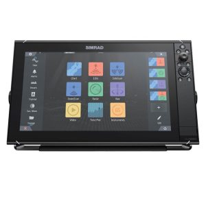
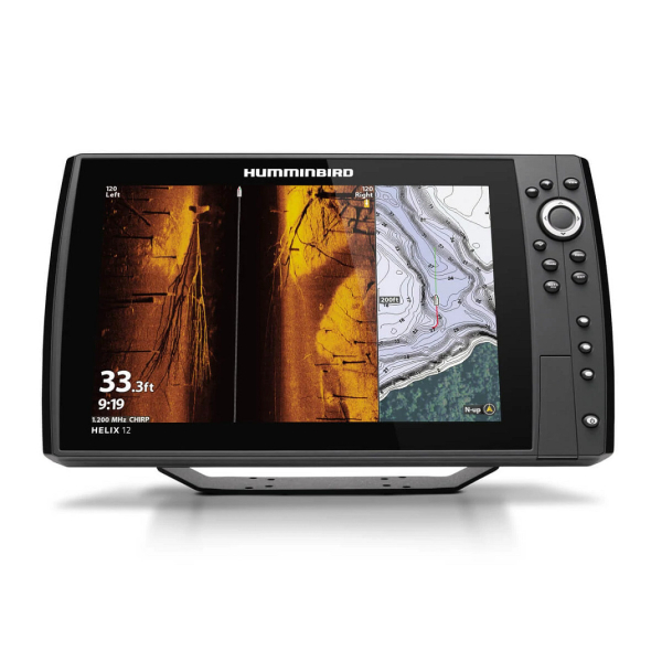
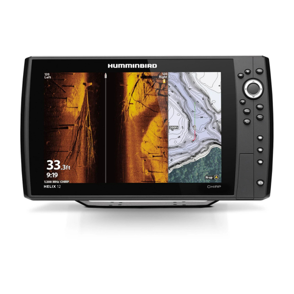
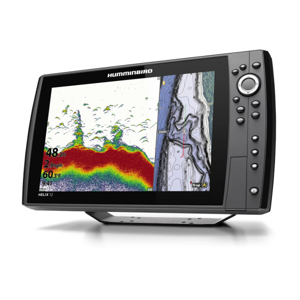
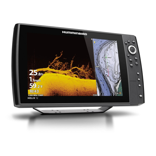
The Humminbird HELIX 12 CHIRP MEGA SI Plus GPS G4N is a 12.1-inch marine fish finder and chartplotter designed for anglers who want detailed sonar imaging, GPS navigation and networking in one display. Its MEGA Side Imaging+, MEGA Down Imaging+ and Dual Spectrum CHIRP sonar provide multiple ways to identify fish, structure and bottom detail, while built-in GPS and Humminbird Basemap support navigation and trackplotting.
The HELIX 12 CHIRP MEGA SI Plus GPS G4N combines several sonar technologies so anglers can choose the view that best suits the situation. MEGA Side Imaging+ is designed to reveal fish and structure to the sides of the boat, while MEGA Down Imaging+ provides detailed underwater views beneath the vessel. Dual Spectrum CHIRP adds a dedicated fish-finding view with Wide Mode for broader coverage and Narrow Mode for concentrating on detail.
Humminbird specifies standard sonar depth capability of up to 1,200 feet with the supplied transducer, with optional 50 kHz equipment capable of reaching up to 3,500 feet. Imaging coverage varies by frequency, including MEGA, 800 kHz and 455 kHz operating modes.
Built-in GPS and Humminbird Basemap make the HELIX 12 more than a fish finder. GPS chartplotting and trackplotting are included, allowing boaters to record routes and tracks and mark fishing locations. The system supports waypoints, routes and tracks, while compatibility with LakeMaster, CoastMaster and selected Navionics chart products provides additional mapping options.
AutoChart Live lets anglers create real-time maps while moving across a fishing area. The system can record depth contours, bottom hardness and vegetation, helping build a more detailed picture of frequently fished water. Humminbird also supports AutoChart Zero Line SD cards for expanding mapping capacity.
Ethernet networking allows the HELIX 12 G4N to communicate with compatible Humminbird electronics and compatible add-on technologies. Built-in NMEA 2000 provides another connection point for marine data and compatible accessories. Bluetooth and Wi-Fi add wireless connectivity, including compatible software and device functions.
The unit is also compatible with the Humminbird and Minn Kota One-Boat Network ecosystem, as well as selected MEGA 360, MEGA Live, i-Pilot Link, Talon and Raptor equipment. Radar compatibility is also supported when paired with compatible marine electronics.
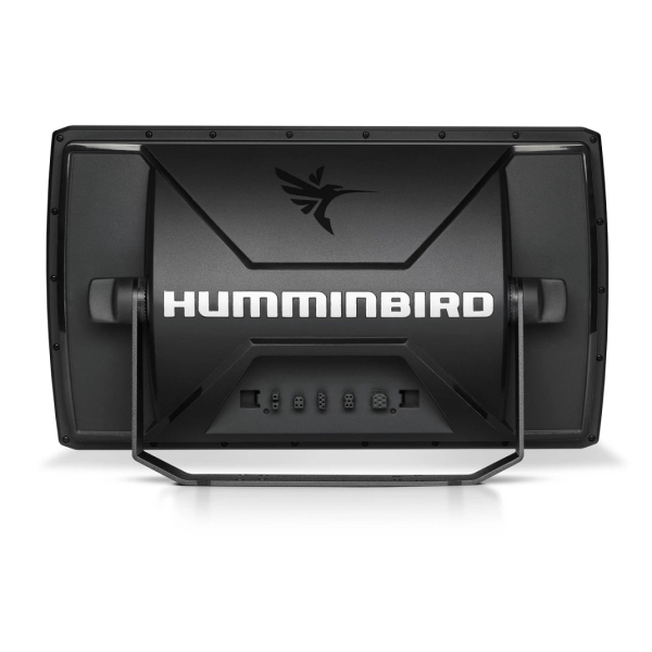
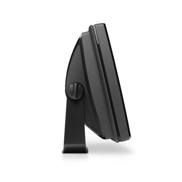
The 12.1-inch color TFT screen uses a 1280 x 800 pixel matrix and keypad control. The standard gimbal mounting footprint is approximately 14.86 inches wide by 8.83 inches high by 4.25 inches deep. An optional in-dash mounting configuration is also available.
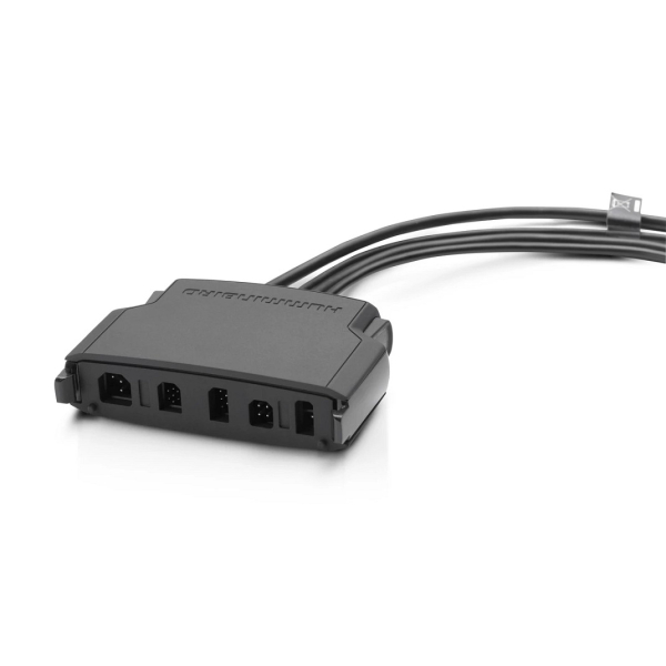
The product listing identifies a transom-mounted transducer, power cable, mounting hardware and gimbal mounting bracket among the supplied components. Before installation, verify the exact package contents, transducer configuration and mounting requirements for the unit being purchased.
| Specification | Details |
|---|---|
| Model | HELIX 12 CHIRP MEGA SI+ GPS G4N |
| Display | 12.1-inch color TFT |
| Display Resolution | 1280 x 800 |
| Sonar | Dual Spectrum CHIRP, MEGA Down Imaging+, MEGA Side Imaging+ |
| Standard Sonar Depth | Up to 1,200 ft with standard transducer |
| Optional Deepwater Depth | Up to 3,500 ft with optional 50 kHz equipment |
| MEGA Down Imaging+ | Up to 200 ft |
| MEGA Side Imaging+ | Up to 200 ft per side |
| GPS | Built-in GPS receiver, chartplotting and trackplotting |
| Mapping | Humminbird Basemap included; LakeMaster, CoastMaster and selected Navionics compatibility |
| Networking | Ethernet, Bluetooth, Wi-Fi and NMEA 2000 |
| Memory | Dual SD card slots |
| Power Input | 10.8–20 VDC |
| Power Draw | 3.2 A maximum according to Humminbird specifications |
| Peak-to-Peak Output | 8,000 W |
This Humminbird fish finder is suited to anglers and boat owners who want a large-screen marine electronics display combining sonar, GPS navigation, mapping and networking. It is particularly useful for fishing boats where detailed Side Imaging and Down Imaging, chartplotting and integration with other compatible marine electronics are important.
Performance Engines provides marine electronics and navigation equipment for boat owners, anglers and marine applications. If you are comparing fish finders, chartplotters or radar equipment, review the available marine GPS systems and contact Performance Engines if you need help confirming compatibility or installation requirements.
Yes. The HELIX 12 CHIRP MEGA SI Plus GPS G4N includes an internal GPS receiver along with GPS chartplotting and trackplotting.
It supports Dual Spectrum CHIRP, MEGA Down Imaging+ and MEGA Side Imaging+. Humminbird also specifies support for several CHIRP and imaging frequencies, including 455 kHz, 800 kHz and MEGA imaging ranges.
Humminbird specifies up to 1,200 feet of standard sonar depth with the standard transducer. An optional 50 kHz setup can provide depth capability up to 3,500 feet.
Yes. The G4N model includes Ethernet networking, Bluetooth, Wi-Fi and NMEA 2000 connectivity, allowing integration with compatible marine electronics and accessories.
Yes. Humminbird lists compatibility with MEGA Live and MEGA 360 Imaging, along with other compatible equipment in the One-Boat Network ecosystem.
Yes. Humminbird Basemap is included, and the unit supports additional mapping options including LakeMaster, CoastMaster and compatible Navionics products.